MERRICK MARS LiDAR PTY LTD
ABN 44 111 339 738
LiDAR-Light Detection and Ranging Systems. Automated All - Digital, Beginning to End Process Flow. Faster, More Accurate & Competitive Final Products
Our Global Business Partners
LiDAR INTERNATIONAL
Working Internationally with our Business Partner
Merrick & Company USA Technologies
LiDAR - Digital Laser Mapping
Light Detection and Ranging
Fully Automated / All - Digital
Beginning - to - End / Process Flow
Faster, More Accurate & Competitive Final Products

* Contour mapping
* 3-D perspective analysis / * Floodplain mapping
* Vegetation mapping / * Shoreline analysis
* Corridor/route studies / * Slope analysis
The MARS® evaluation version can be downloaded from the following webpage: http://www.merrick.com/MARS
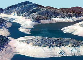
Merrick Mars Brochures / LiDAR Mapping Examples
Merrick Mars Advanced Remote
Sensing Software Brochure

Geospatial Solutions
Brochure

High Density
Aerial Mapping Brochure
Energy Transmission
Brochure


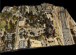
Natural Colour Digital Imagery
Draped over LiDAR
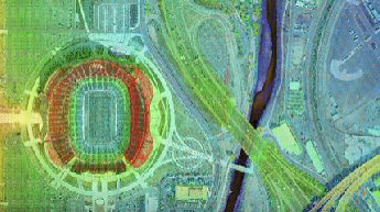
Mile High Stadium
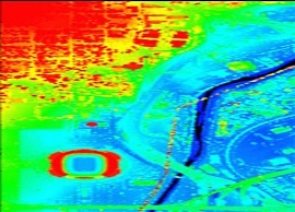
LiDAR Top View
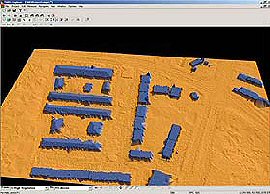
Automatic Building Extraction
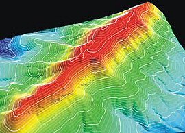
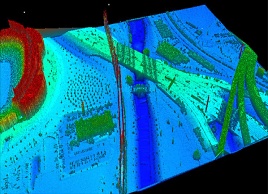
LiDAR 3D perspect example view
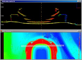
LiDAR cross-section example view
LiDAR orthophoto example view
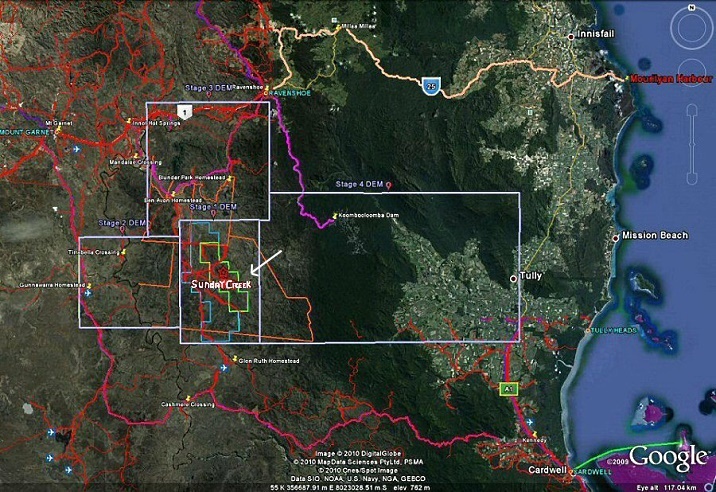
Proposed inital planning of stage areas of DEM (Digital elevation models) for exploration, mining,
associated infrastructure and downstream industrial development
under review for LiDAR Whispering Ridge / Sunday Creek Industrial Corridor-Slurry Pipeline and transportation alternatives to Mourilyan Harbour / Townsville port for Magnetite and other Mineral Ores
Far North Queensland Australia.